Accurate Mapping Solutions
Deylam Surveying & Engineering
Making Complex Projects Simple
About Us
About Deylam Surveying and Mapping Services Inc.
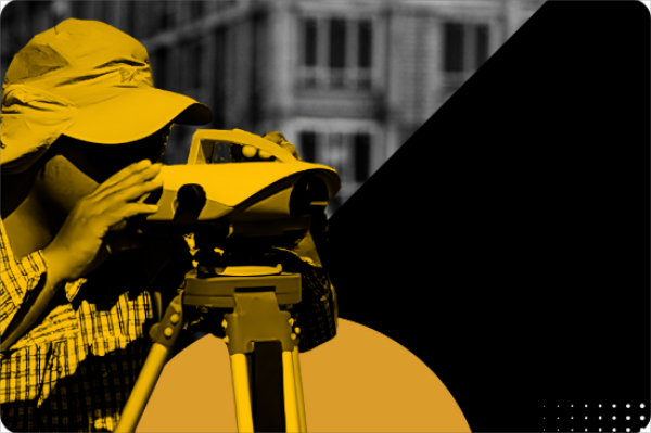
Deylam Surveying and Mapping Services Inc. is a land surveying and engineering consulting firm specializing in providing comprehensive services utilizes:
Advanced surveying equipmentand techniques
Measuring land boundaries, topography
Measuring spatial information

Our Services
Comprehensive Services For All Your Spatial Needs
We Offer a Full Range of Land Surveying and Mapping Solutions
Land surveying
Measurement and recording of information related to land boundaries, shape and dimensions of land parcels, topography (elevations and land surfaces), and various geographical features.

Boundary determination
Establishing precise boundaries between land parcels and preparing maps that include this information.

Construction surveying
Producing accurate maps of buildings and interior facilities for construction planning, interior design, and maintenance purposes.

Road and utility mapping
Creating comprehensive maps for roads, railway tracks, power transmission lines, gas pipelines, and other transportation and communication networks.
Contact us today to discuss your requirements and get a free quote. We'll work within your budget constraints to deliver results on schedule.
FAQ
General Question
We work on a variety of land surveying, engineering and mapping projects including boundary surveys, topographic mapping, construction layout, subdivision plans, infrastructure mapping and more.
We utilize the latest surveying equipment like total stations, GNSS receivers, drones and laser scanning. We also have expertise in GIS, 3D modeling and other software.
For standard surveys and mapping projects, we aim to deliver final documents within 2-4 weeks. For more urgent needs, we can provide preliminary results within days or hours in some cases.

