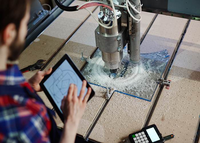
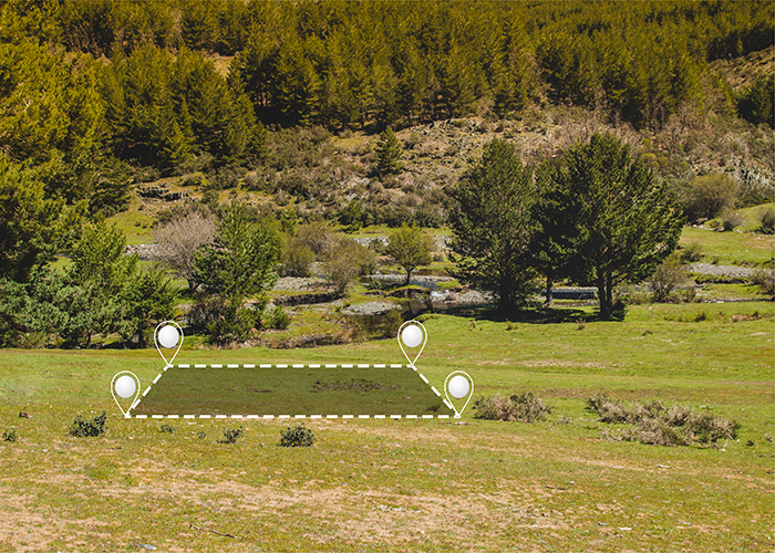
3D laser scanning has transformed how precise dimensional data is captured for engineering projects, facility documentation, construction progress monitoring and more. The technology utilizes rapid, non-contact laser pulses to take highly detailed digital measurements of physical environments. Over the last decade especially, significant advances continue pushing the capabilities of this innovative surveying method.
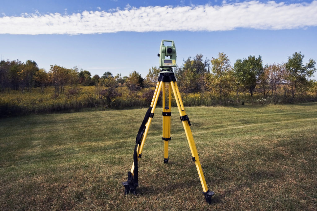
The Vital Role of Land Mapping: Understanding the Significance of Knowledge, Tools, and Challenges
