Address

380 Wellington Street, Tower B, 6th Floor, London, Ontario, N6A 5B5,

Email

info@deylamservices.com

Aerial Mapping – Applications and Benefits

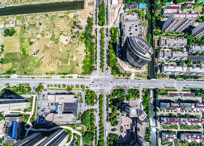
Aerial mapping is quickly becoming one of the most useful surveying and spatial data collection techniques available today. By capturing images and data from above, this technology provides an abundance of benefits across many industries. Let's explore some of the key applications and advantages of aerial mapping.  
Infrastructure Inspection

Aerial photography and remote sensing methods like LiDAR allow engineers and surveyors to thoroughly inspect large objects from the sky. Bridges, power lines, roads and other infrastructure can be scanned to precisely measure dimensions and detect any signs of damage or deterioration over time. This helps prioritize repairs and maintenance in a more efficient, cost-effective manner.  

Disaster Response

Following extreme weather events or other emergencies, aerial mapping deploys rapidly to capture aerial views and 3D models of affected areas. Response teams can leverage this spatial data to assess risks, plan rescue missions and infrastructure repairs with accurate up-to-date intelligence. Drones in particular provide a fast, flexible method for crucial post-disaster inspections.  

Construction Monitoring

Major construction projects require continuous oversight to track progress, identify issues and ensure specifications are met. Fixed-wing aircraft and drones equipped with cameras produce orthophotos and elevation data at scheduled intervals. This aerial monitoring documents the project from start to finish in a detailed, digital format.  

Site Planning & Development

Developers utilize aerial mapping at the earliest conceptual planning stages. Overhead imagery and terrain maps help evaluate land suitability, environmental constraints, drainage patterns and more. As projects advance, continued aerial surveys document grading changes, infrastructure installations and final as-built conditions for verification.  

Resource Management

Photogrammetry and LiDAR enable natural resource managers to monitor forest health indicators like tree density, disease and fire risk over large areas. They also map agriculture fields and wildlife habitats. By identifying changes over time, agencies better understand environmental impacts for conservation and land use decisions.  

Surveying Technology

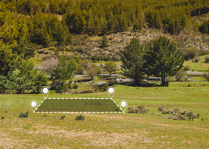
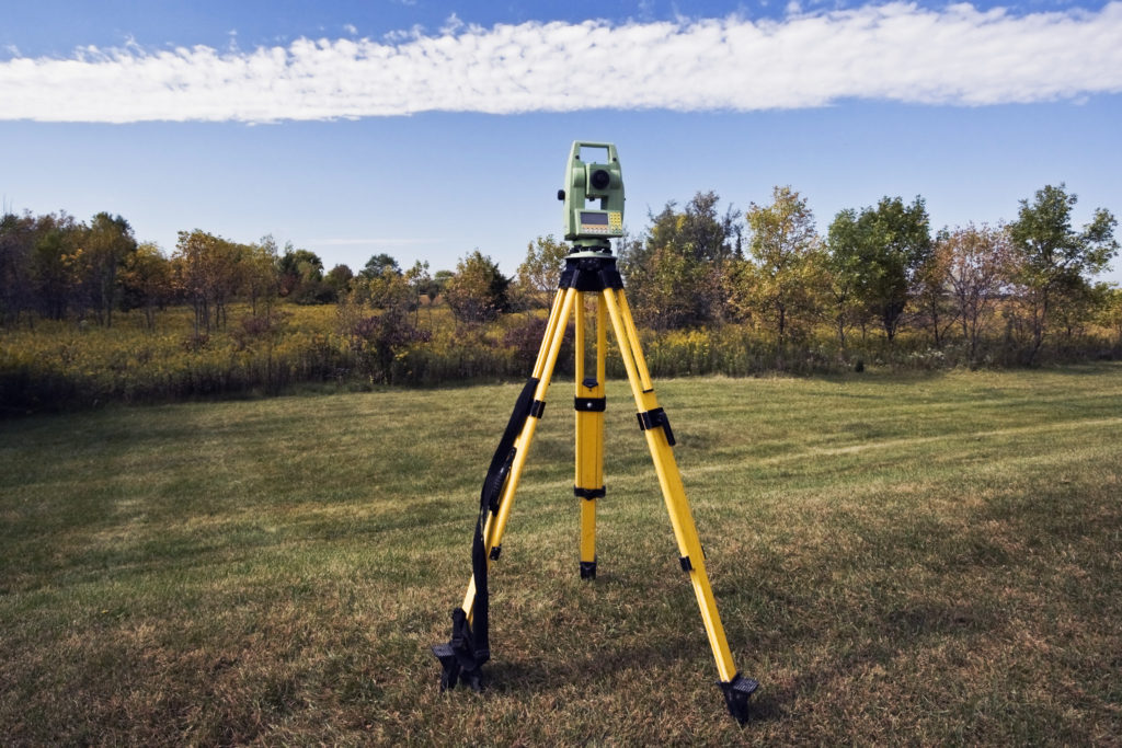
Airborne sensors complement traditional ground surveying techniques by capturing hard-to-reach areas like shorelines or mountainous regions. The resulting high-resolution mapping, imagery and 3D point clouds act as visual references to locate control points and confirm boundary placements. They improve efficiency on large-scale projects.   While some initially viewed aerial mapping as a novelty, it has revolutionized how we plan, design, build and maintain the world around us through highly accurate, objective geospatial intelligence. No other method delivers such a comprehensive overhead perspective and dense spatial datasets applicable to such a wide variety of industries and situations. As technologies continue enhancing image and data resolution, aerial mapping will surely remain an indispensable tool for modern surveying professionals.

Leave a Reply

Your email address will not be published. Required fields are marked *

Related Posts

Categories