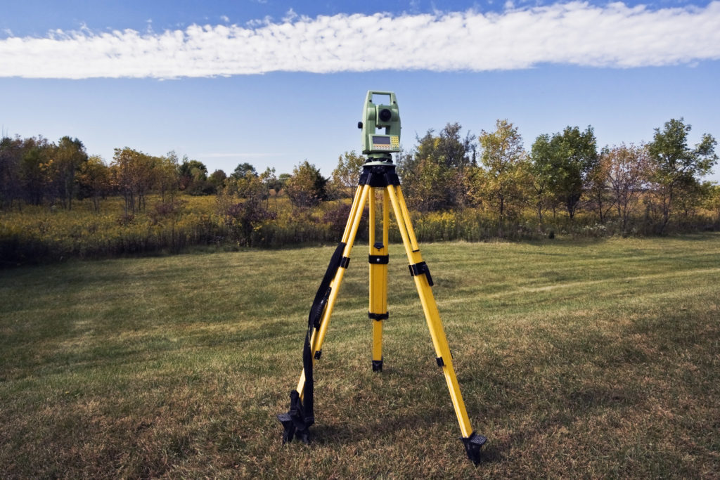
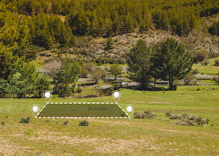
Aerial mapping is quickly becoming one of the most useful surveying and spatial data collection techniques available today. By capturing images and data from above, this technology provides an abundance of benefits across many industries. Let's explore some of the key applications and advantages of aerial mapping.

The Vital Role of Land Mapping: Understanding the Significance of Knowledge, Tools, and Challenges


